Drone inspections for ports and marine aids to navigation
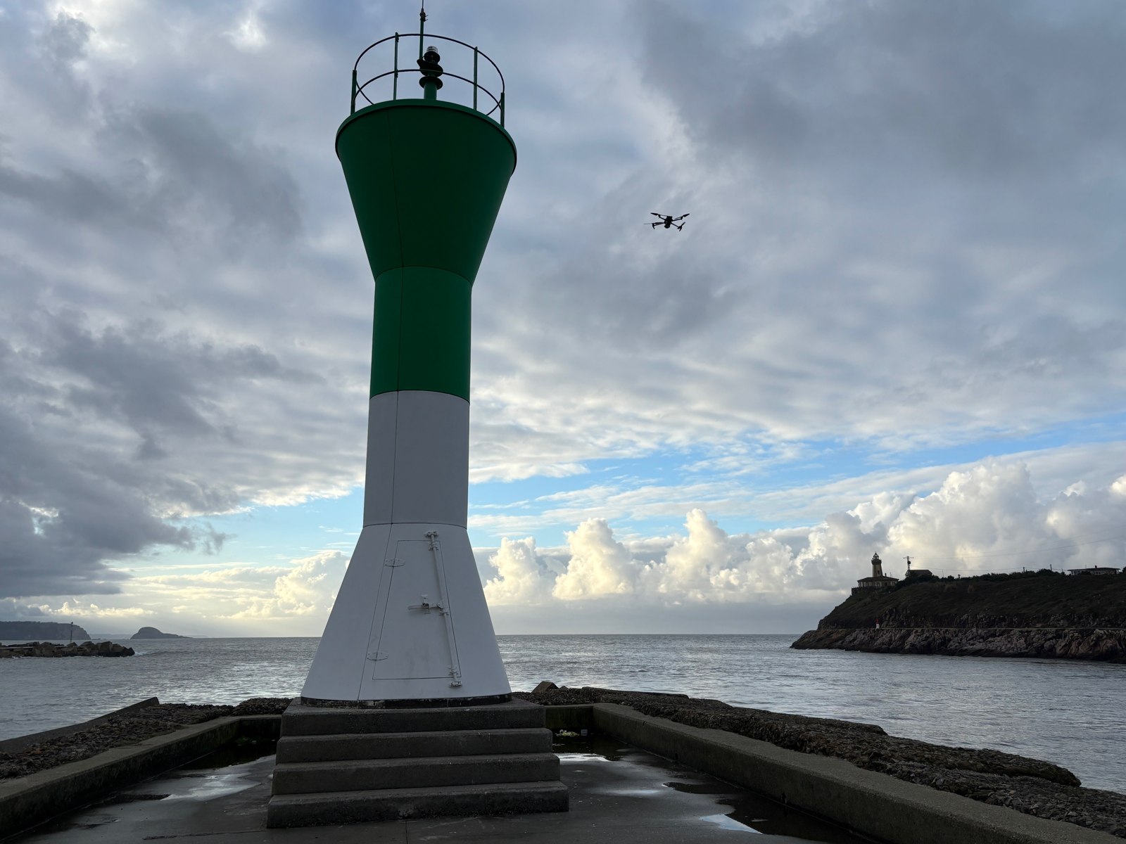
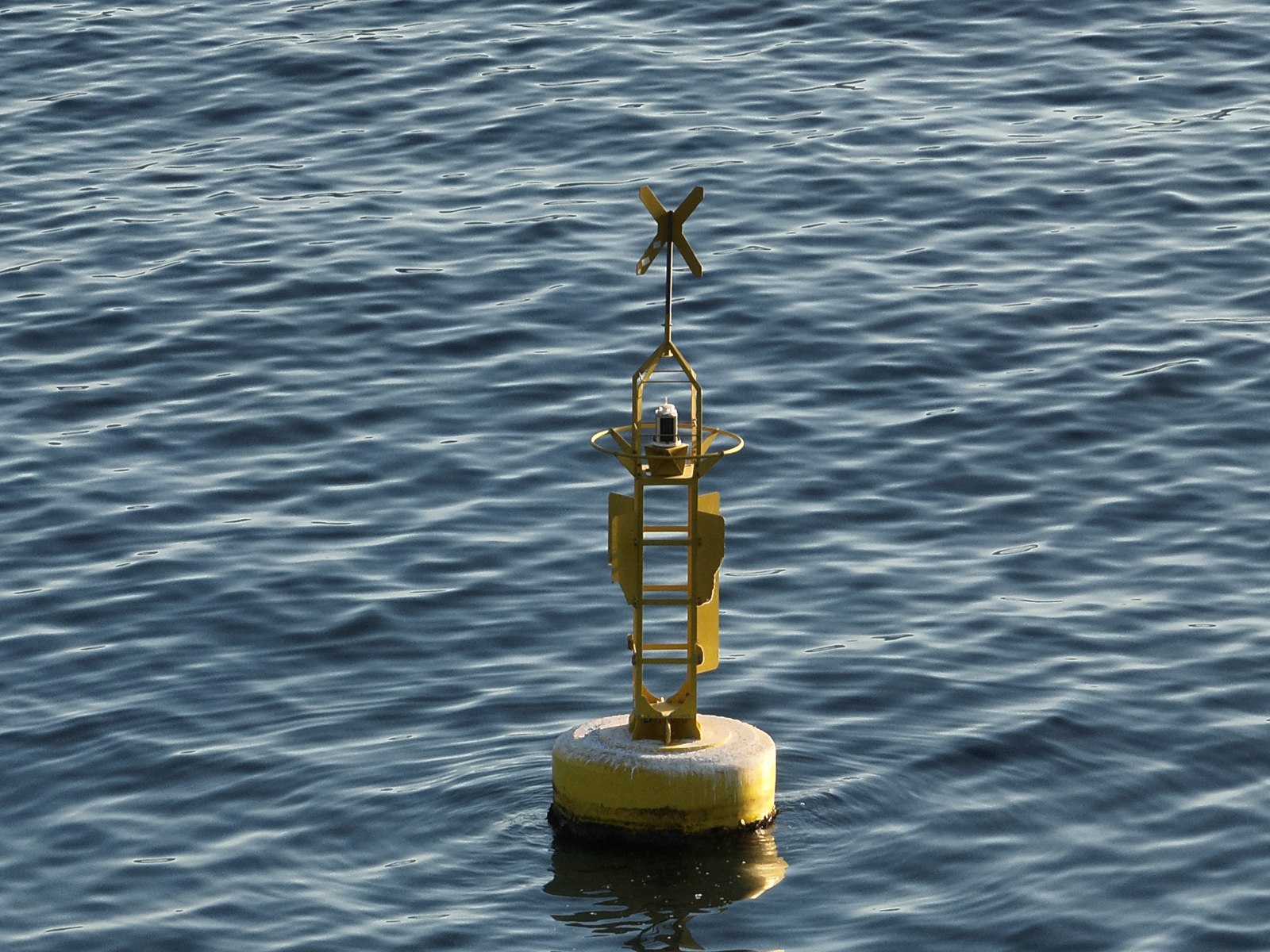
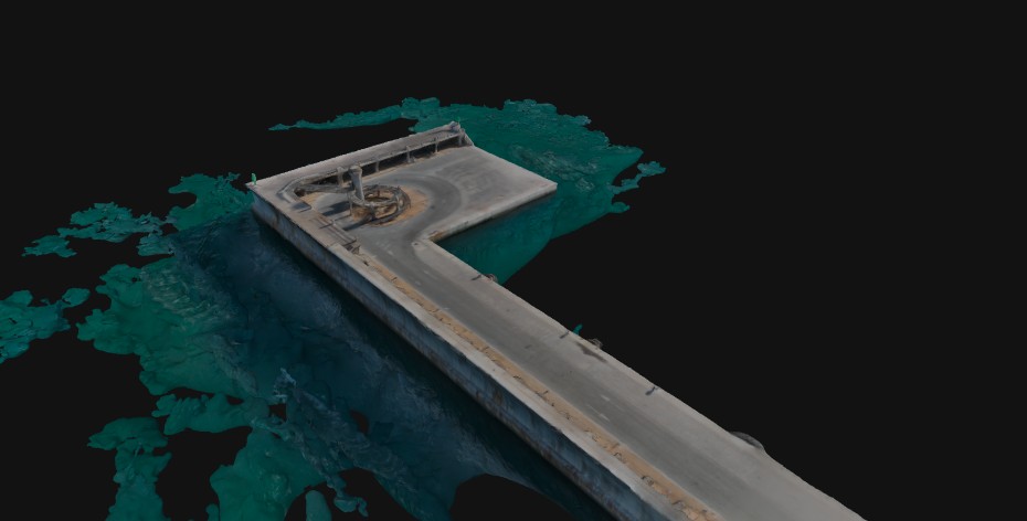
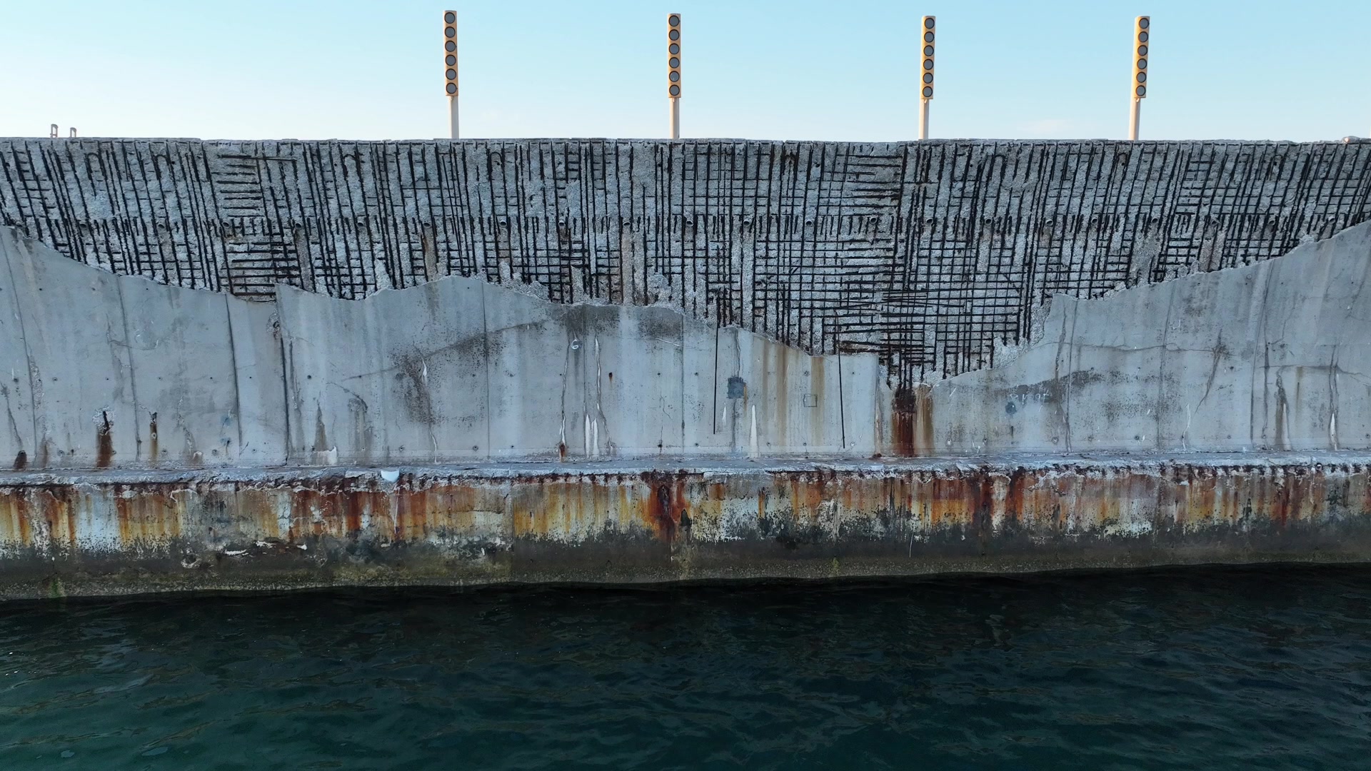
ATON Drone by ITE combines drones, sensors and software to inspect marine aids to navigation and port infrastructure, with data and results available through a digital platform.
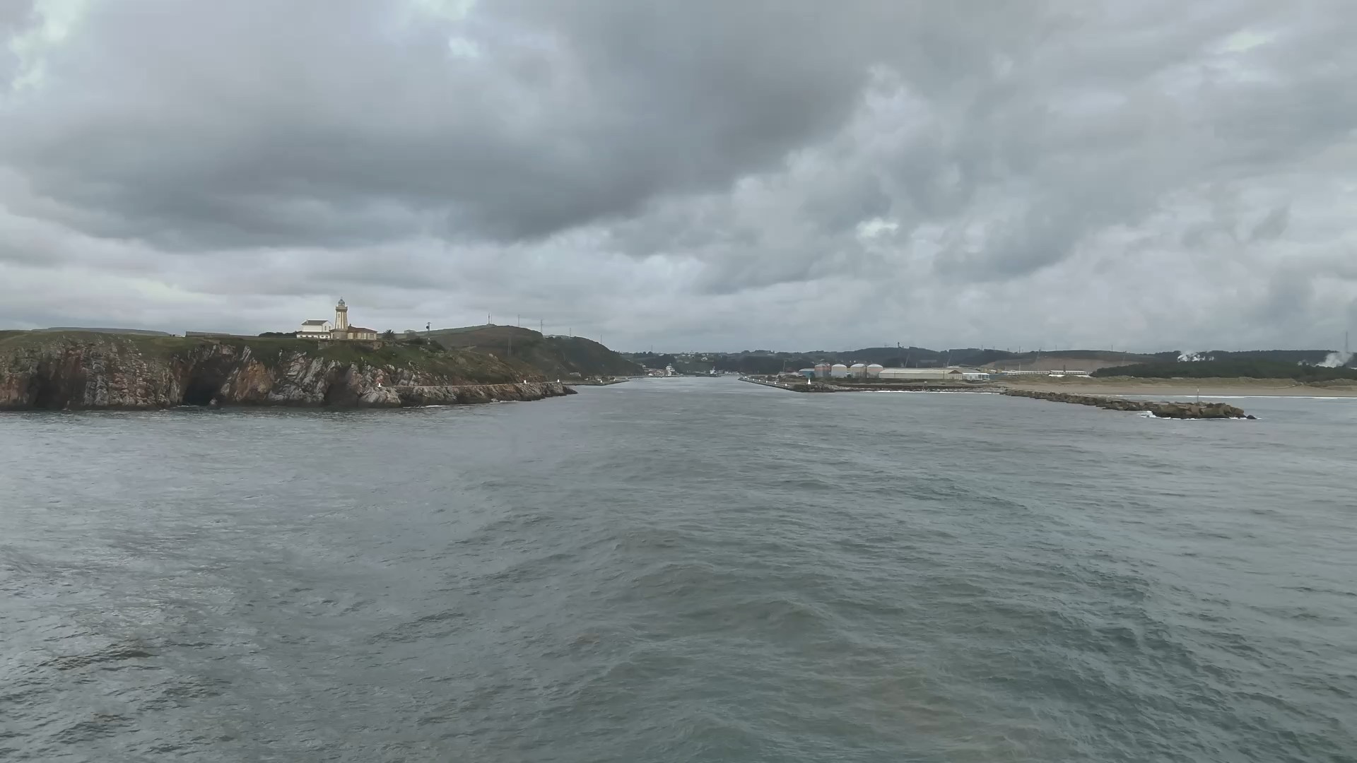
Aerial imagery of aids to navigation, breakwaters and structures complements or replaces inspections from land or a vessel.
Repeatable inspections
Automated flight routes make it possible to inspect the same assets again and compare successive inspection campaigns.
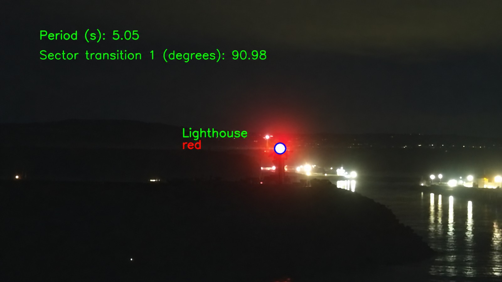
Daytime and night-time inspections
Imagery of physical assets and navigational lights is captured according to the inspection type and operating conditions.
Georeferenced data
Images and measurements are linked to their location, the inspected asset and the operation to support technical analysis.
Centralised information
An inventory of aids to navigation, operations and imagery is available on the ATON Drone platform, organised by port and asset.
Flexible delivery model
On-demand inspections carried out by ITE, or drones, software and training supplied to ports so their own teams can carry out inspections independently.
Cookies and privacy
Integración Tecnológica Empresarial, S.L. uses necessary cookies to operate this website and remember your preferences. With your consent, external services such as Google Fonts may be loaded. You can accept or reject optional services and change your choice at any time through Cookie settings. Please see our cookie policy for further information.
Necessary
Always active
Required for essential functions, security and remembering cookie choices. They cannot be disabled in this panel.
Preferences
The technical storage or access is necessary for the legitimate purpose of storing preferences that are not requested by the subscriber or user.
Statistics
The technical storage or access that is used exclusively for statistical purposes.Storage or access used exclusively for anonymous statistical purposes.
External services
Allows optional third-party services such as Google Fonts, which receive connection data, including the IP address. They remain disabled until consent is given.