
ATON DRONE BY ITE
Drone inspections for ports
Six inspection types for documenting marine aids to navigation and port infrastructure. Daytime inspections of marks and buoys focus on their physical features; light inspections focus on the signal emitted at night. PEL sector lights and lighthouses are presented separately because they require specific observation methods.
01
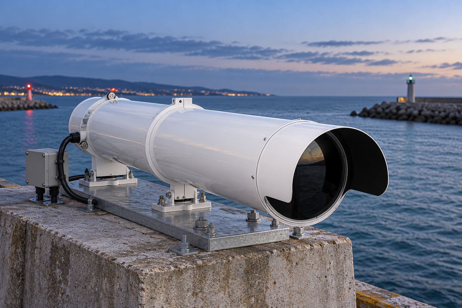
Computer-generated illustration of a PEL sector light installation
LIGHTED AIDS TO NAVIGATION
PEL sector lights
Defining navigational sector boundaries
Sector transitions are recorded to calculate their angular boundaries and compare them with the installation reference data. The inspection focuses on defining the sectors that guide mariners.
Sector transitions · Angular boundaries · Installation reference data
02
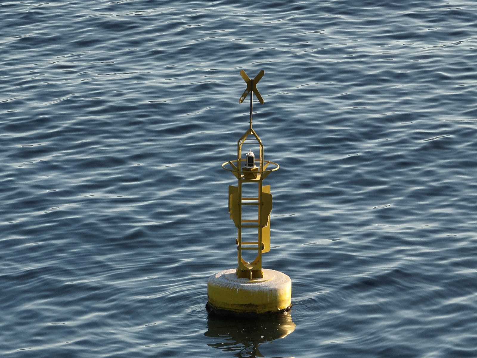
Daytime inspection of a buoy’s physical features
PHYSICAL FEATURES
Marks and buoys: daytime inspection
Colour, shape, topmark and visible condition
Observation of colour, shape, topmark and visible external condition. Images document physical features and support comparison with the asset inventory. Both lighted and unlighted aids are included.
Visual identification · External condition · Photographic record
03
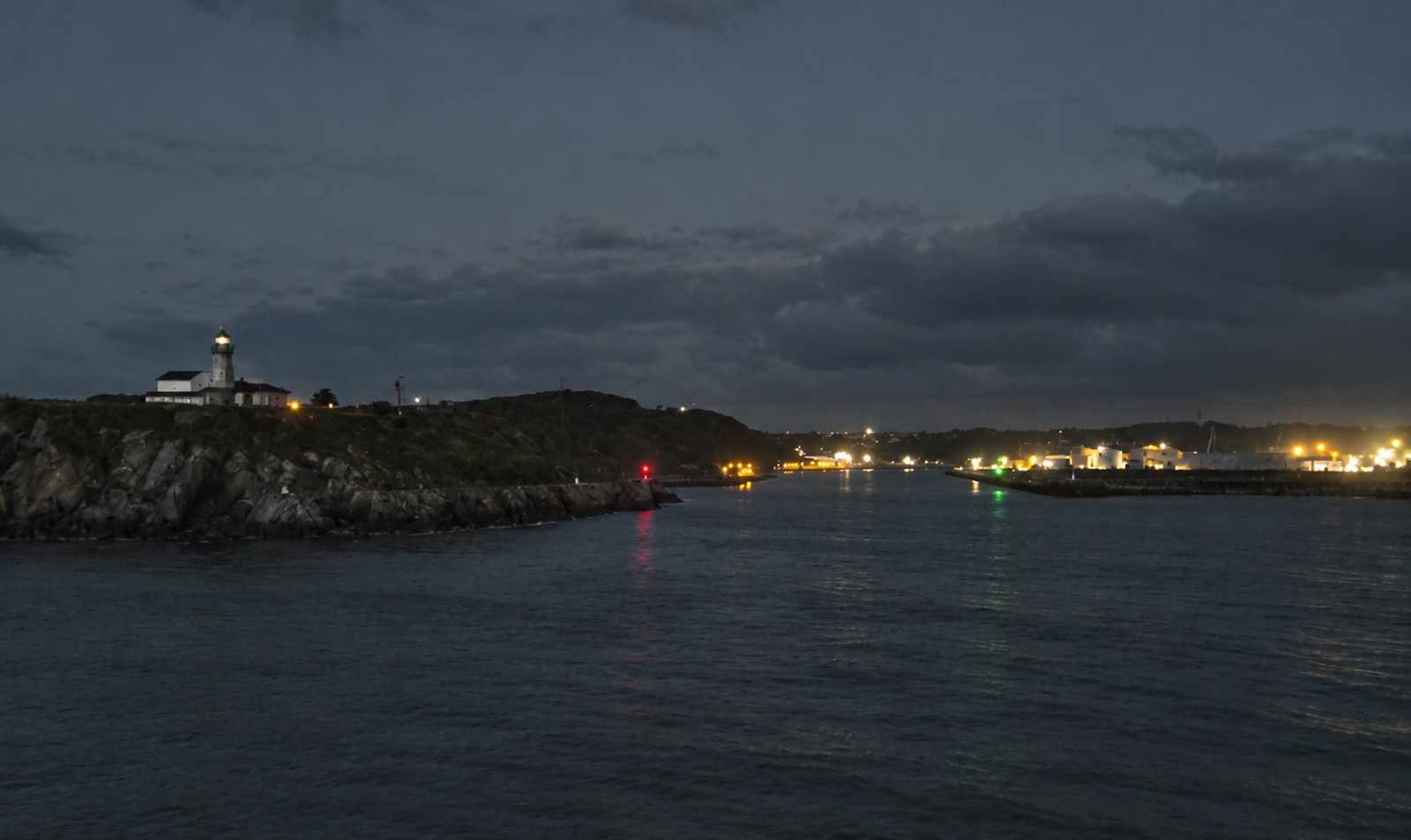
Night-time observation of navigational lights
LIGHT SIGNALS
Marks and buoys: light inspection
Light colour, rhythm and period
Night-time observation of lighted aids to check their colour, rhythm, period and any obstructions to visibility. Where sectors are provided, these are checked as an additional task.
Night-time observation · Light characteristics · Obstructions to visibility
04
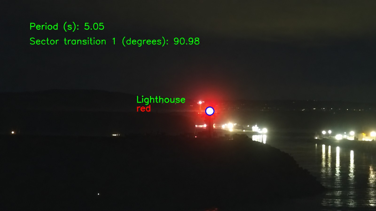
Analysis of a lighthouse light’s period and sector transitions
LIGHTED AIDS TO NAVIGATION
Lighthouses
Observing the lighthouse light signal
Recording and analysis of the lighthouse light signal, including its period and sector transitions where applicable, using flights adapted to the observation conditions.
Light signal · Period · Sector transitions
05
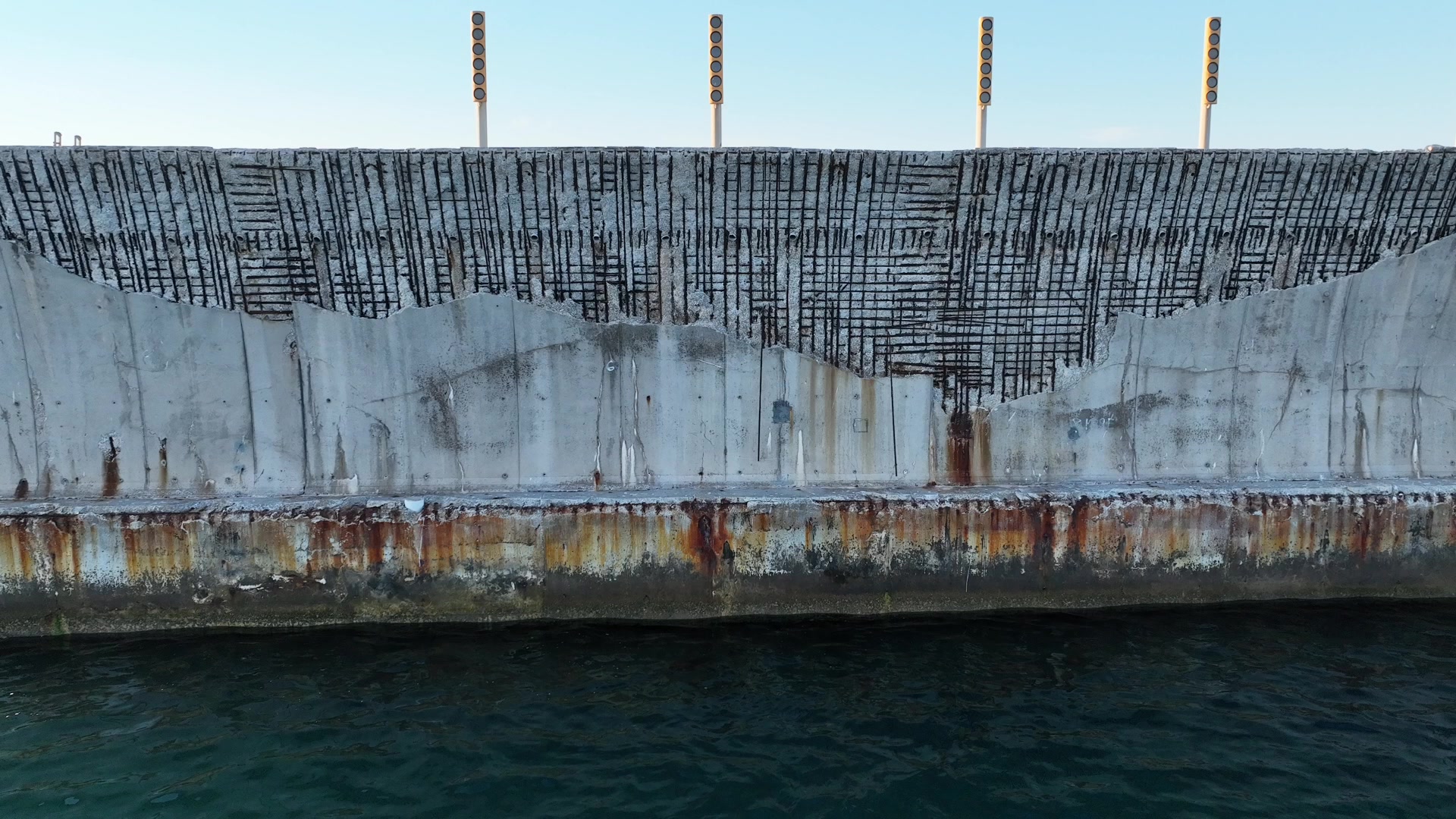
Aerial record of a quay’s surface condition
PORT ASSETS
Infrastructure inspections
Documenting visible condition
Images of quays, breakwaters, cranes, buildings and other assets document their visible condition and support technical review and change monitoring.
Photographic record · Technical review · Change monitoring
06
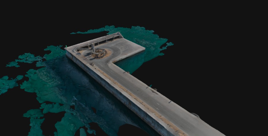
Photogrammetric 3D model of port infrastructure
PORT AREA SURVEYS
Topographic surveying and mapping
Orthophotos, point clouds and 3D models
Photogrammetric image capture to generate orthophotos, point clouds and 3D models of terrain and infrastructure, according to the survey scope and requirements.
Photogrammetry · Georeferenced information · 3D models